Back in October 2019, I decided that the prototype railroad depicted in my next layout will be the B&O from 1938-1948 in southwestern PA somewhere between Meyersdale and New Castle, likely including Pittsburgh. After four months of research and consideration, I’ve narrowed my focus to the Pittsburgh & Lake Erie line from McKeesport to McKees Rocks, a segment that partially spans two divisions over a distance of about 15 miles.
I decided pretty quickly to make my southernmost potential station Connellsville, instead of smaller Meyersdale, since it was a pretty significant station, junction and yard, making a logical end point for operations. Although I don’t know how much space will be available for the layout, the approximately 100 miles between these two points seemed like a lot, so I thought the best planning approach would be to research and document the points of interest that existed along that stretch, and use that information to help me select a shorter segment to model.
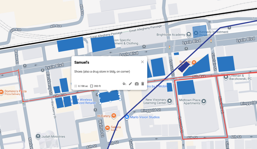
My research and documentation started by following the present-day CSX main line from New Castle to Connellsville via Google Maps satellite view, which revealed many former railroad facilities, such as turntables, tunnels, bridges and stations, plus evidence …