
Working from a copy of the Pittsburgh commuter routes map prepared by another Google Maps user, I’ve added a couple of the potential streetcar routes to see how I can combine routes on a future layout:
https://drive.google.com/open?id=1LWkqzK7xX-t-N-FdqOk0k-oMVS5nXkEA&usp=sharing
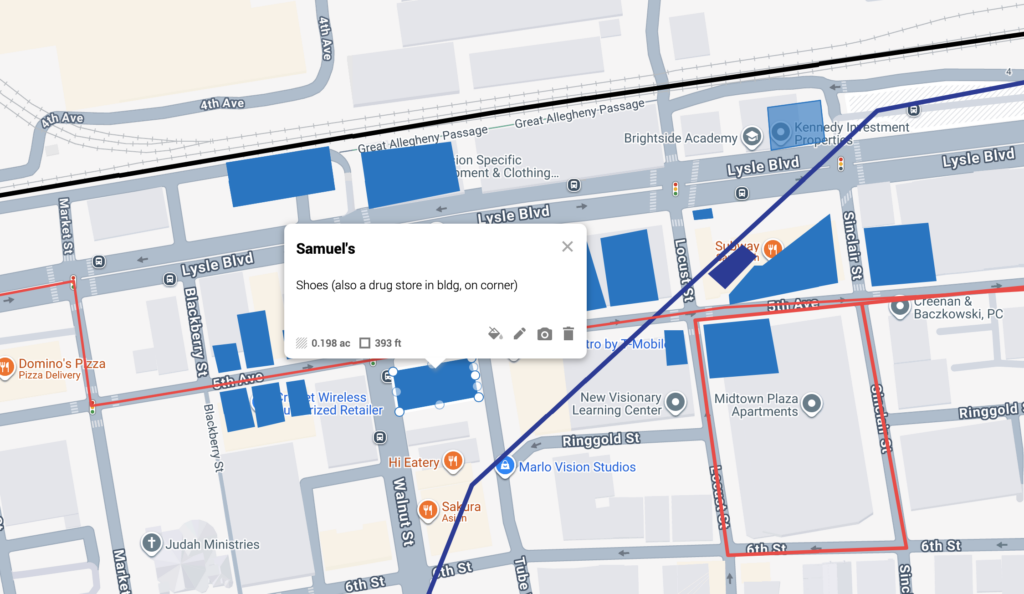
Update from January 2026
Looking back on this old post, it was surprising to see how little I wrote about the planning map at the time, because it’s become a very useful tool in my planning and research process, not just for streetcar routes like I mentioned in the original post. I have since used it to map the locations of just about every notable structure that could potentially be included in the scenes of McKeesport, Terminal and West End This was much easier to do after I obtained a PDF copy of the 1949 edition of Polk’s Pittsburgh City Directory.
Side-note: I feel at some point I may change the name of the Terminal scene to Pittsburgh. I’ve called it Terminal because the scenes of West End and South Side are also in Pittsburgh. Now I think it makes more sense to call it Pittsburgh since that’s what the railroad called it, despite having multiple freight stations within Pittsburgh city limits.