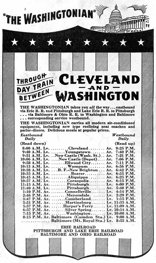
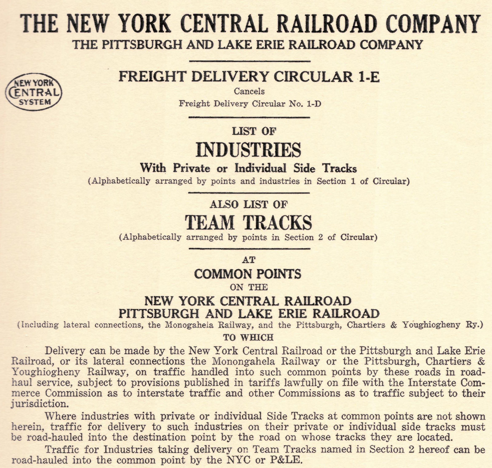
Although this layout will be primarily focused on passenger operations, I still intend to include some local and through freight operations, with switching in the terminal scene at least. It’s not hard to identify what types of freight would likely be delivered to or from industries along the P&LE in Pittsburgh in 1949, but I started down the path of accuracy when I came across a 1929 map on Historic Pittsburgh, identifying the names and rough locations of industries at that time. Later, I heard about Rails Unlimited, which sells reproductions of old railroad shipper’s guides. They have one for the P&LE (New York Central), which is, as the cover describes, a list of industries with private or individual side tracks, and list of team tracks, at common points on the NYC/P&LE, to which delivery can be made by the NYC/P&LE or its connections.
Only six of its 314 pages pertain to Pittsburgh, and it was published in 1963 (14 years too late), but it was worth the $50, because I was able to compare it to the 1929 industries map to compile a list of 36 that would have been in operation in 1949. The tables in …