
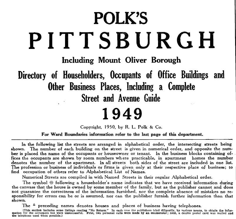
In order to accurately depict scenes along the P&LE in 1949, I have to figure out what businesses occupied the buildings near the tracks at the time. I’ve mostly relied on historic photos collected from various sources on the web, which I’ve organized in the Photos app on my MacBook. I’ve been plotting buildings and known occupants on my Google Maps planning map. I’ve been able to identify a lot of building occupants that way, but there were still a lot of unknowns, until a tip I read in Model Railroad Planning 2023 lead me to a massive source of information that I’ve only just begun to utilize: the 1949 edition of Polk’s Pittsburgh City Directory, which I purchased and downloaded from Masthof Press & Book Store.
The book is described on its title page as Containing an Alphabetical Directory of Business Concerns and Private Citizens, a Directory of Householders, Occupants of Office Buildings and Other Business Places, Including a Complete Street and Avenue Guide, and a Postal Zone Guide; also a MANUFACTURERS’ DEPARTMENT, A BUYERS’ GUIDE and a Complete Classified Business Directory. Basically, you can look up people and businesses by name, address, or business type.
As soon as I opened the huge PDF, I looked up Carson Street East and was able to quickly see who occupied the string of six buildings facing what will be the aisle side of the layout, just to the left (east) of the terminal. Before this, I only knew from photos that the building with “Hotel Birmingham” on its cornice had become the Wagner Hotel by the 1960s, that in 1936, a restaurant had occupied the southeast corner of Carson E and Smithfield, and that there was a gas station on the eastern end of the block.


As it turns out, the restaurant in the 1936 photo was Omero Casali Restaurant, which served Italian food and was still operating there in 1949. I still don’t know when or how Hotel Birmingham became the Wagner Hotel, but it was the Wagner in 1949, which is all I really need to know. The other businesses included Golf Course Supply Company, J. Krigger Company Machinery and one vacant storefront, all located within the PRR Smithfield Street Station (I still don’t know if passenger trains were still using that station in 1949). East of that, Tambellini’s Confectionery occupied a 4-story building with bright green and black stripes on its facade. East of that, in a 3-story building, was Greeney’s Detective Agency, Alderman Louis Eskofier, Constable Harry Michel, Constable Francis Flannery and Timmons Real Estate Company. The gas station toward the end of the block was Bill McManamon’s Cities Service Station, which also owned the small building on the end of the block. That first night exploring the directory, I didn’t spend much time looking into Carson Street W (West of Smithfield), but I was really happy to see that the Corner Luncheonette, which was a small, interesting building I’ve seen on the southwest corner of Smithfield and Carson in 1960s photos, was there in 1949.
This directory will be a great resource as I continue researching other scenes in my model railroad plan. Besides identifying building occupants, it could also be a source for business names on delivery trucks near team tracks or throughout the layout.