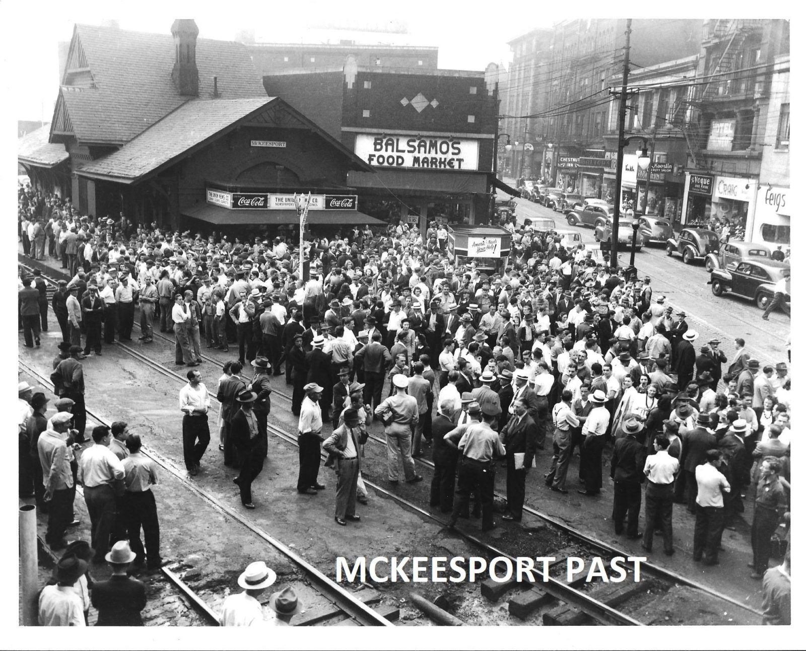
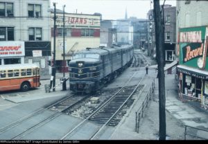
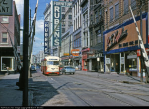
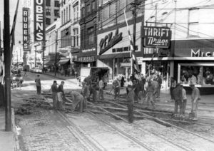
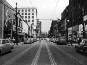
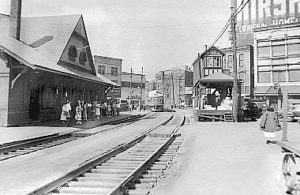
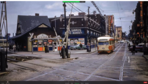
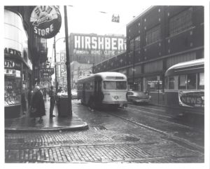
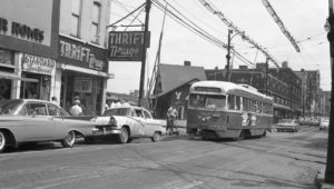
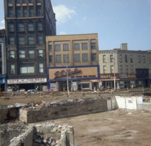
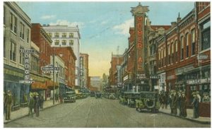
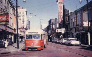
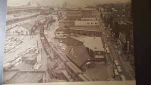
Until recently, the vision in my head of what a McKeesport scene might look like was pretty fuzzy, except that I knew what the train station looked like, and that it was situated on the B&O tracks that cut diagonally through busy downtown streets, where every stopped train would block car and streetcar traffic for blocks. I’ve recently gathered more historic photos of the area around the station and realized it had exactly the kinds of street scenes I want to model: shorter brick buildings housing a variety stores with big signs painted on the bricks or covered in lights. After studying the photos (some of which came from the book McKeesport (Images of America: Pennsylvania), I could start to see where the boundaries of a modeled McKeesport might land, space permitting.

In the purple boundary line shown above, the upper right corner (northwest) was chosen because that’s where the B&O tracks connect to the P&LE tracks. The main focal point would be the train station, which would have at least one block of town modeled on each side of it, hopefully two blocks to the south of the station, which would provide a longer sight line down 5th Ave, with space for a return loop for the streetcars.
Now that I’ve started taking a closer look at Mckeesport, I realize it’s a pretty important scene, because of its modeling potential. It has exactly the kinds of city street scenes I want to model, with a variety of businesses (furniture, clothing, restaurants, hotels, pharmacies, jewelry, records, groceries, salon, deli, candy, cinema), lots of pedestrian traffic, streetcars and many grade crossings. If I were limited to a very small layout space, I could make a streetcar layout out of just the McKeesport scene, and I’d still be able to incorporate many of the items on my givens & druthers list.
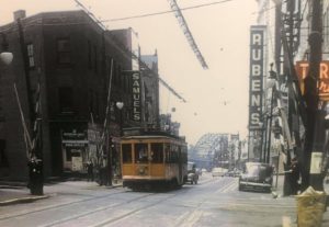
The way the tracks crossed diagonally through the street grid could add a lot to the scene, offering two different viewing angles, but it could be challenging to build, because right next to the train station, the train tracks and streetcar tracks cross each other on 5th Ave.
On my Givens & Druthers list, one of my givens is automated crossing signals with animated gates (and lights/bells if prototypical). There were a lot of crossing gates in the vicinity of Mckeesport station, because of how the tracks cut diagonally through the street grid. They’re so prominent in some photos that I don’t think I could capture the look and feel of the scene without them and the series of gateman towers that accompanied them.
The station and a couple other buildings would have to be scratch-built or kitbashed, but I think I could fill in most of Mckeesport with commercially made kits, like the ones I’ve been working on over the past few years. Modeling the illuminated signs along the street would be key to capturing the look of the scene, even if the buildings aren’t exactly the same as what was once there. This week, I purchased the Electroluminescence Experimenters Kit from Miller Engineering, to see what kind of potential this stuff has for creating signs like I’ll need for McKeesport, such as the big “Ruben’s” sign that appears prominently in many old photos.
