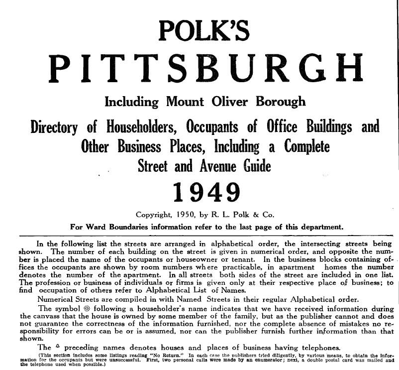
In order to accurately depict scenes along the P&LE in 1949, I have to figure out what businesses occupied the buildings near the tracks at the time. I’ve mostly relied on historic photos collected from various sources on the web, which I’ve organized in the Photos app on my MacBook. I’ve been plotting buildings and known occupants on my Google Maps planning map. I’ve been able to identify a lot of building occupants that way, but there were still a lot of unknowns, until a tip I read in Model Railroad Planning 2023 lead me to a massive source of information that I’ve only just begun to utilize: the 1949 edition of Polk’s Pittsburgh City Directory, which I purchased and downloaded from Masthof Press & Book Store.
The book is described on its title page as Containing an Alphabetical Directory of Business Concerns and Private Citizens, a Directory of Householders, Occupants of Office Buildings and Other Business Places, Including a Complete Street and Avenue Guide, and a Postal Zone Guide; also a MANUFACTURERS’ DEPARTMENT, A BUYERS’ GUIDE and a Complete Classified Business Directory. Basically, you can look up people and businesses by name, address, or business type.…

