
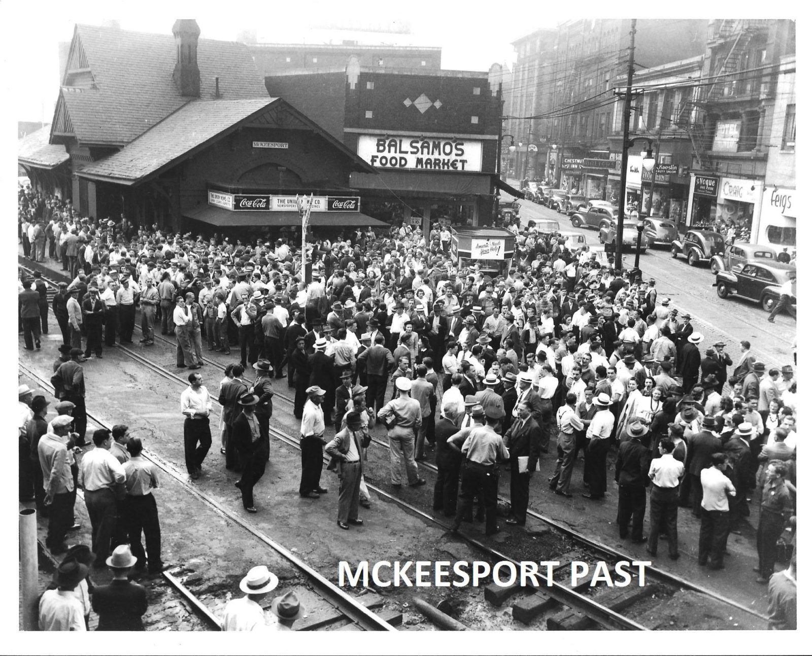
Until recently, the vision in my head of what a McKeesport scene might look like was pretty fuzzy, except that I knew what the train station looked like, and that it was situated on the B&O tracks that cut diagonally through busy downtown streets, where every stopped train would block car and streetcar traffic for blocks. I’ve recently gathered more historic photos of the area around the station and realized it had exactly the kinds of street scenes I want to model: shorter brick buildings housing a variety stores with big signs painted on the bricks or covered in lights. After studying the photos (some of which came from the book McKeesport (Images of America: Pennsylvania), I could start to see where the boundaries of a modeled McKeesport might land, space permitting.

In the purple boundary line shown above, the upper right corner (northwest) was chosen because that’s where the B&O tracks connect to the P&LE tracks. The main focal point would be the train station, which would have at least one block of town modeled on each side of it, hopefully two blocks to the south of the station, which would provide a …