
Another Google map, this one showing various points of interest along old Pittsburgh lines. Stations, coaling towers, yards, roundhouses, interlocking towers, etc. https://www.google.com/maps/d/viewer?mid=1Mruyg0V6Pj-iFzs3mxgMrTdkXtA&ie=UTF8&oe=UTF8&msa=0&ll=40.385366432869375%2C-79.74792613830124&z=9…
BCW Supplies makes boxes for trading cards that are perfect for storing HO scale models. This post on their blog includes a convenient list of suitably-sized boxes, with dimensions.…
Lots of information about building traction lines: http://www.trolleyville.com/school.shtml…
These historic photos of Pittsburgh may be useful in planning!
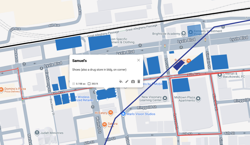
Working from a copy of the Pittsburgh commuter routes map prepared by another Google Maps user, I’ve added a couple of the potential streetcar routes to see how I can combine routes on a future layout:
https://drive.google.com/open?id=1LWkqzK7xX-t-N-FdqOk0k-oMVS5nXkEA&usp=sharing
Update from January 2026
Looking back on this old post, it was surprising to see how little I wrote about the planning map at the time, because it’s become a very useful tool in my planning and research process, not just for streetcar routes like I mentioned in the original post. I have since used it to map the locations of just about every notable structure that could potentially be included in the scenes of McKeesport, Terminal and West End This was much easier to do after I obtained a PDF copy of the 1949 edition of Polk’s Pittsburgh City Directory.
Side-note: I feel at some point I may change the name of the Terminal scene to Pittsburgh. I’ve called it Terminal because the scenes of West End and South Side are also in Pittsburgh. Now I think it makes more sense to call it Pittsburgh since that’s what the railroad called it, despite having multiple …
For the past couple of years, I’ve had it in my mind that I’d eventually choose a location, time period and prototype railroads to model after doing more research. About a year ago, I narrowed down my options to the Northeastern US or Pacific Northwest, during the steam or transition eras. I thought I’d take longer to decide, but when I look back at my intermittent research over the past two years, I realize I’ve only really been interested in the railroads of southwestern Pennsylvania in the 1930s through the 1950s, particularly the Baltimore and Ohio Railroad and the Pennsylvania Railroad, so I think I’m going to consider it a settled matter now. Those roads have always been favorites of mine, and I grew up in that region, decades later.
The location will certainly be southwestern Pennsylvania, likely including Pittsburgh, and the main railroad modeled will be the B&O. If possible, I’d also like to incorporate a PRR line, and certainly the Pittsburgh & Lake Erie Railroad’s line through Pittsburgh, since the B&O’s named trains used the P&LE’s station in Pittsburgh.
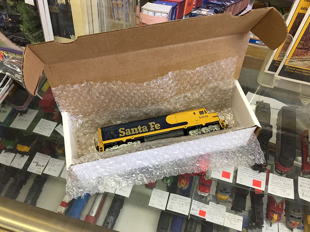
Some existing models I’d like to use have narrowed down the previously-mentioned 30 year span to just ten. …